Blog | Wednesday, July 27, 2022
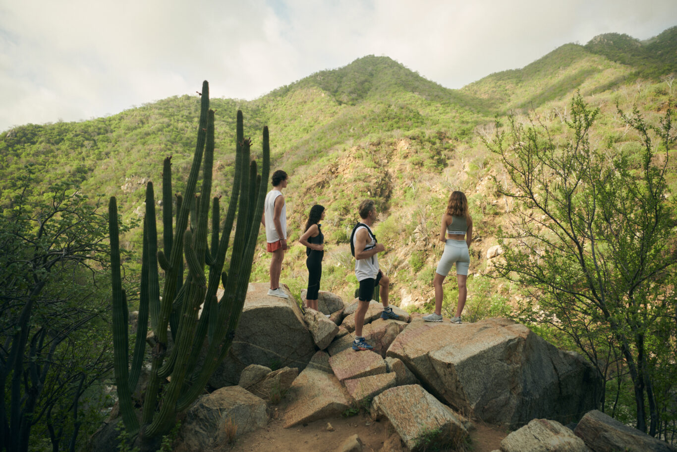
20 of the Best Hiking Trails in and Around Cabo
Looking to explore hiking trails in and around East Cape Cabo? Whether you’re an experienced hiker or just taking the family out for an easy walk to take in the scenery and get a little exercise, Cabo’s trails are guaranteed to provide exquisite views of mountains, sand, and sea.
Be sure to inform someone of your destination and return time, wear comfortable shoes, apply plenty of sunscreen, and carry water to stay hydrated as you check out these hiking trails around the region.
-
1. Eureka
Difficulty: Easy to moderate
Length: 1.5 miles
Elevation gain: 370 feet
Type: Out and backJust minutes from Costa Palmas Resort, this rocky but relatively easy hiking trail through desert landscape provides exceptional views of the sea from the top. Perfect for watching a sunset.
-
2. Circuito Cerro de Las Antenas y Los Venados
Difficulty: Easy to moderate
Length: 4.2 miles
Elevation gain: 938 feet
Type: LoopAlthough there are some rocky paths, steep climbs, and little shade, this desert loop is considered an easy to moderate hike. The views of the Bay of Cabo San Lucas from the top of Cerro de Las Antenas promise to be photo-worthy.
-
3. Los Barriles Paseo en la Playa
Difficulty: Easy
Length: 2.9 miles
Elevation gain: 62 feet
Type: Out and backWalk on the clean white beach with opportunities to see dolphins, fish, rays, and birds.
-
4. Cerro Los Barriles
Difficulty: Easy
Length: 1.9 miles
Elevation gain: 370 feet
Type: Out and backHike this popular desert trail to the cross atop of Cerro Los Barriles for your reward of phenomenal views of the sea. The trails are fairly well marked and in good condition.
-
5. Playa los Barriles Norte
Difficulty: Easy
Length: 3.2 miles
Elevation gain: 124 feet
Type: Out and backWalk barefoot in the sand while you look for whales, dolphins, and birds.
-
6. Los Barriles Plateau
Difficulty: Moderate
Length: 4.1 miles
Elevation gain: 797 feet
Type: LoopThis inland trail takes you to a mesa overlooking the city and the Gulf of California
-
7. Cascada Sol de Mayo
Difficulty: Moderate
Length: 0.6 mile
Elevation gain: 78 feet
Type: Out and backNo dogs are allowed on this popular trail used for birding, walking and hiking that takes you to the Sol de Mayo Waterfall and swimmable oasis. Although there are ropes and railings to help you climb to the top of the falls to view the lagoon, it is steep. Be prepared to pay 220 pesos per person to use this route.
-
8. Canon de La Zora
Difficulty: Easy
Length: 2.1 miles
Elevation gain: 347 feet
Type: Out and backLike Cascade Sol de Mayo, this trail takes you to a freshwater lagoon where you can cool off in the waterfall. Bring cash to pay the per-person user rate of 220 pesos.
-
9. Aguas Termales Santa Rita
Difficulty: Moderate
Length: 1.0 mile
Elevation gain: 154 feet
Type: LoopThis route takes you through the river between the canyon to pools of fresh and warm water springs.
-
10. Circuito Cabo Pulmo
Difficulty: Moderate
Length: 6.0 miles
Elevation gain: 830 feet
Type: LoopJust north of the town of Cabo Pulmo, this trail leads you around the hills of Cabo Pulmo National Park with views of sandy beaches and the sea.
-
11. Cabo Pulmo—Mirado Pergola
Difficulty: Easy
Length: 2.7 miles
Elevation gain: 209 feet
Type: Out and backHead out from the small town of Cabo Pulmo to a low hill with views of the Gulf of California.
-
12. Circuito Nasty
Difficulty: Easy
Length: 5.0 miles
Elevation gain: 807 feet
Type: LoopJust north of the city of Cabo Pulmo you’ll find this fairly well-marked trail through the hills of Cabo Pulmo National Park.
-
13. Backside y Coyote
Difficulty: Easy
Length: 2.9 miles
Elevation gain: 580 feet
Type: Out and backHikers share this Cabo Pulmo National Park trail with horses and mountain bikers.
-
14. Cerro El Pulmo
Difficulty: Moderate
Length: 0.8 miles
Elevation gain: 416 feet
Type: Out and backHike to the top of Cerro El Pulmo for spectacular vistas of sand and sea on this trail just north of the city of Cabo Pulmo.
-
15. Circuito Junior’s
Difficulty: Easy
Length: 0.8 miles
Elevation gain: 75 feet
Type: LoopAlthough this trail is popular for hiking, mountain biking, and birding, you’ll still find solitude during less busy times. The hills in Cabo Pulmo National Park provide incredible views of white sand beaches and the water.
-
16. Cerro El Pulmo Sendero Pila
Difficulty: Moderate
Length: 1.6 miles
Elevation gain: 469 feet
Type: Out and backThis lesser-known climb to the top of Cerro el Pulmo is quite steep but short and the views of the Gulf of California make it worth the trek.
-
17. Lollipop—Floating Rock—West Loop—Vista
Difficulty: Moderate
Length: 2.8 miles
Elevation gain: 357 feet
Type: LoopTake this route through the hills in Cabo Pulmo National Park to experience multiple trails and expansive views of sea, sky, and sandy beaches.
-
18. Liz’s Arroyo a E-Loop
Difficulty: Moderate
Length: 2.9 miles
Elevation gain: 282 feet
Type: LoopThis desert trail takes hikers, bikers and walkers south through the hills of Cabo Pulmo National Park for incredible views of the sunset, water, and beaches.
-
19. Liz’s Arroyo—East Loop—Fig Tree
Difficulty: Easy
Length: 1.0 miles
Elevation gain: 78 feet
Type: Out and backOffering an alternative to the more moderate hike on the E-Loop, the Fig Tree Loop through the hills of Cabo Pulmo National Park provides a shorter and easier trek without sacrificing views.
-
20. Circuito Bench
Difficulty: Easy
Length: 5.5 miles
Elevation gain: 741 feet
Type: LoopTake the family on this desert loop trail through Cabo Pulmo National Park for a day of exercise, nature watching, and impressive views.
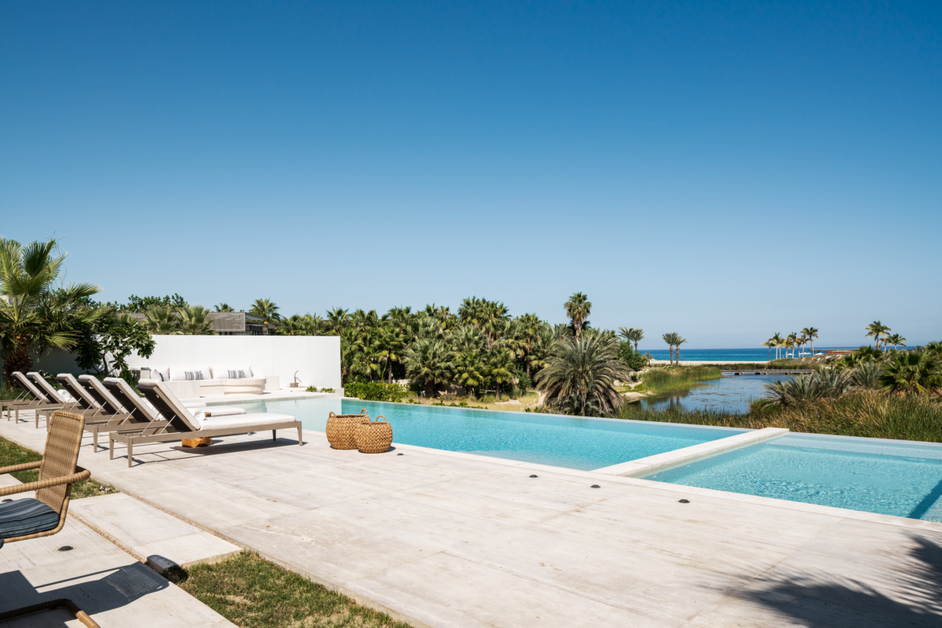
Interested in making Cabo your permanent or second home? Learn more about buying a permanent residence in the Costa Palma resort. The new Marina Village offers slips for residents to bring their own sailboat or yacht—up to 250 feet long—just steps from your villa’s back door.